

From the Black Sea to the Eastern Mediterranean, Türkiye is asserting its maritime rights through diplomacy, law, and strategic planning. The Marine Spatial Planning Map is a blueprint for sovereignty, sustainability, and regional stability.
Türkiye's engagement with the seas is growing steadily, driven by evolving national policies.
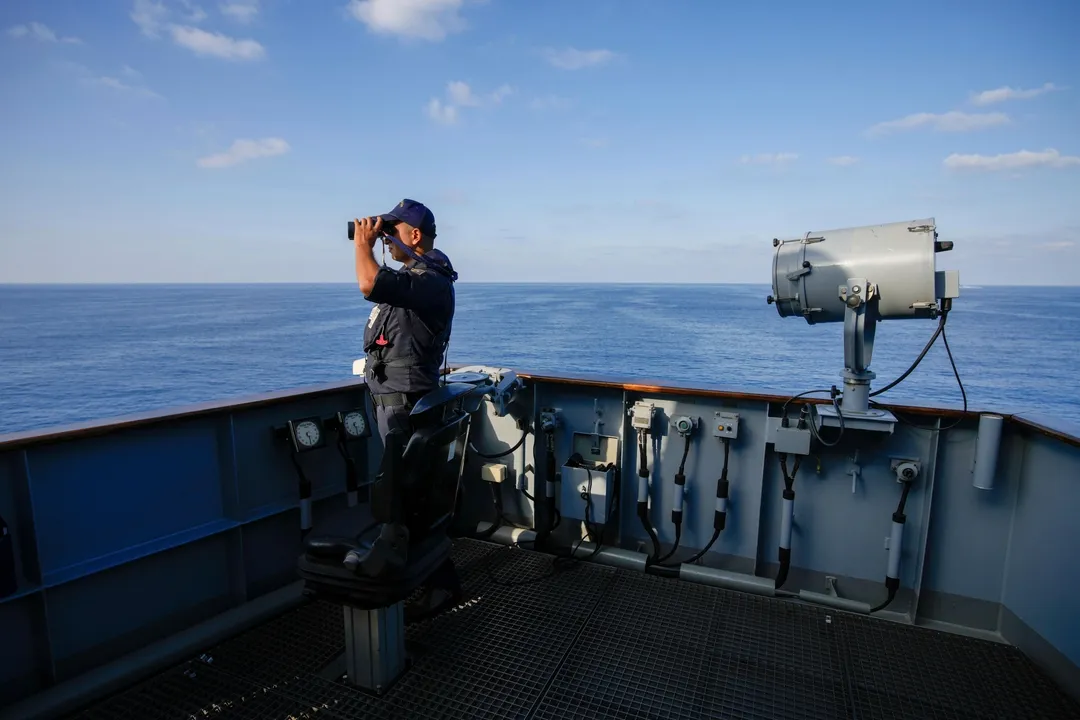
The emphasis placed on maritime affairs by President Recep Tayyip Erdogan underscores the country’s ambition to assert itself more actively at sea. In this context, we are witnessing the transformation of the longstanding ideal of a “seafaring nation” into a set of coordinated state strategies.
Türkiye asserts the importance of resolving the disputes in its seas through diplomacy and cooperation with neighbouring coastal states, believing this approach will enhance peace and stability across the region.
In the Black Sea, Türkiye has established its maritime boundaries through bilateral agreements. Notably, the 1978 Türkiye-USSR Continental Shelf Delimitation Agreement, which remains in effect with successor states – Russia, Ukraine, and Georgia.
Then in 1986, Türkiye declared an exclusive economic zone (EEZ) up to 200 nautical miles in the Black Sea with the Council of Ministers Decree.
The Türkiye-Bulgaria Maritime Boundary Agreement followed this in 1997.
These agreements have collectively shaped a maritime space in the Black Sea characterised by peaceful cooperation and clear legal boundaries.
Contentious boundaries
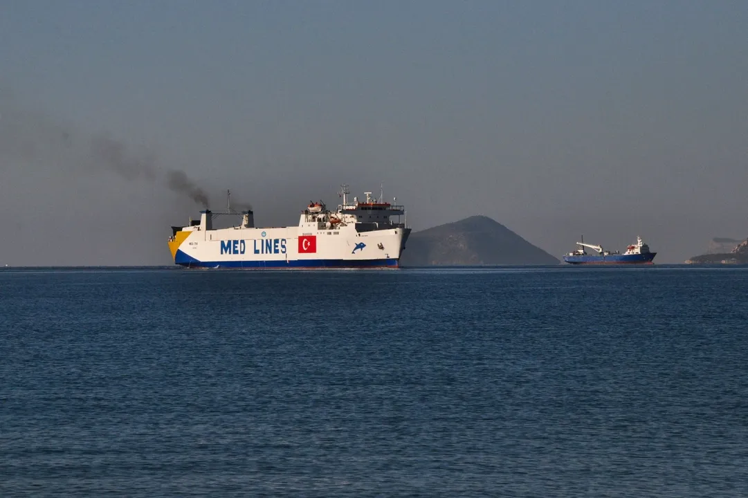
In the Eastern Mediterranean, maritime boundary issues are more contentious.
The unilateral exploitation of the resources in the seas surrounding the island by the Greek Cypriot Administration of Southern Cyprus disregards the rights of the Turkish Republic of Northern Cyprus (TRNC), leading to increased tensions in the region.
The former has signed bilateral EEZ delimitation agreements with Egypt (2003), Lebanon (2007), and Israel (2010), based on the equidistance principle.
In response, Türkiye and the TRNC signed the Continental Shelf Delimitation Agreement in 2011, reinforcing Türkiye’s support for the TRNC’s maritime rights and resource exploration activities.
Türkiye further defined its continental shelf areas in line with its sovereign rights, with Libya in a 2019 agreement, officially declared in a letter sent to the United Nations on March 18, 2020.
When it comes to the Aegean Sea, longstanding disputes between Türkiye and Greece remain unresolved, although Türkiye's proposal to solve the problems with Greece by negotiation is still on the agenda. Türkiye continues to call for negotiations on a breadth of territorial waters and delimitation of continental shelves, demilitarised status of islands, airspace and flight information region (FIR), search and rescue regions (SAR) and geographical formations.
However, Greece accepts a one-problem policy which sees the continental shelf delimitation as the only issue, declaring reservations to the mandate of the International Court of Justice (ICJ) on every other issue other than the delimitation of the continental shelf.
Türkiye’s marine spatial planning map
A significant recent milestone is the launch of Türkiye’s Marine Spatial Planning (MSP) Map on 16 April 2025. MSP is a science-based planning process developed to ensure that activities in marine and coastal areas are carried out in harmony.
Developed by the Ankara University National Centre for the Sea and Maritime Law (DEHUKAM), the map aligns with Türkiye’s national interests under the “Blue Homeland” (Mavi Vatan) vision, a comprehensive national vision that underscores the sovereign rights, jurisdictional claims, and strategic interests of Türkiye over its surrounding seas.
It was created with input from public and private stakeholders and outlines potential maritime activities across Türkiye’s jurisdictional waters.
An official application for registration was submitted to the Intergovernmental Oceanographic Commission (IOC)-UNESCO, and the map was subsequently published on the MSPGlobal platform on June 12, 2025.
This release attracted widespread attention in the international press and especially in the Greek media.
Subsequently, Greece announced its Marine Spatial Planning Map, which violates Türkiye's rights in the Aegean Sea and shows it as if it were a Greek lake.
Under the coordination of the IOC, coastal states are recommended to undertake MSP.
With a directive adopted by the European Union (EU) in 2014, the implementation of MSP has become mandatory for EU member states.
With MSP, different activities in marine areas such as fisheries, energy, transportation, tourism, natural conservation and scientific research are evaluated together to ensure the efficient and sustainable use of marine areas. MSP, in general, aims to manage economic activities in a balanced way while at the same time ensuring the protection of ecosystems.
Unplanned use of marine areas may ultimately lead to the complete loss of their economic potential.
Legal basis of the Türkiye MSP map
The Türkiye MSP Map adopts the boundaries of Türkiye’s EEZ in the Black Sea, coordinates submitted to the United Nations in the Mediterranean, and the median line between the mainlands of Türkiye and Greece in the Aegean Sea.
In the Black Sea, there are no existing disputes regarding maritime delimitation with neighbouring countries. Notably, no objections have been raised by other coastal states regarding the boundaries adopted by Türkiye in this region.
In the Mediterranean Sea, although multiple maritime delimitation disputes persist among coastal states, Türkiye submitted its relevant coordinates to the United Nations in 2020. The current MSP map has been prepared based on these submitted coordinates.
Moreover, the map does not establish any new maritime jurisdiction areas; as such, it is not anticipated to provoke any new tensions or reactions in the Mediterranean context.
The maritime boundaries of the Aegean are not delimited with Greece; therefore, the Aegean continental shelf continues to constitute a dispute between Türkiye and Greece in the absence of a delimitation agreement between the two countries.
The 1976 Bern Agreement, which is a norm-creating contractual document in force for the Aegean Sea, foresees that Türkiye and Greece undertake to refrain from any initiative or act concerning the Aegean continental shelf that might trouble the negotiations towards the resolution of the delimitation dispute, which is one of the interlinked issues in the Aegean.
Türkiye calls for maritime boundary disputes to be resolved on the basis of the equitable principles as identified in international maritime law and jurisprudence.
In the Aegean Sea, delineations were made in accordance with international legal norms and jurisprudence, drawing on DEHUKAM’s decade-long institutional expertise in the law of the sea and contributions from field-specialist academics.
The ICJ ruling of 1976 (Aegean Sea Continental Shelf) specifies in Paragraph 28, “that the areas of continental shelf (in the Aegean Sea) ... are ex hypothesi areas which, ..., are to be considered by the Court as areas in dispute, and with respect to which Turkey also claims rights of exploration and exploitation”.
Accordingly, the borders on the Marine Spatial Planning map regarding the maritime jurisdiction areas beyond the territorial sea in the Aegean Sea represent the median line between Turkish and Greek mainlands, until a maritime delimitation agreement has been concluded between Türkiye and Greece.
Key planning elements: energy, transport, ecosystems, and security
The Türkiye MSP Map adopts a comprehensive and coordinated approach to the sustainable management of marine areas, integrating a wide range of maritime activities.
These include anchorage zones, underwater cultural heritage sites, vessel traffic intersections, military training areas, port administrative areas, and special environmental protection areas key marine infrastructure, such as the TurkStream, Türkiye-TRNC water pipeline and Blue Stream pipelines, alongside undersea cables and pipelines, are integrated to reflect the real complexities of the marine landscape.
In the Aegean Sea, a region characterised by heavy maritime traffic, the map delineates major cargo and passenger transport corridors based on the median line between the Turkish and Greek mainlands.
Recognising the geologically sensitive nature of the region—particularly evident in the aftermath of the 2020 Izmir Earthquake—the MSP map also identifies zones of heightened seismic risk zones subject to current and future marine scientific studies.
In response to growing interest in renewable marine energy, the map designates areas suitable for offshore wind energy development. To enhance maritime safety and efficiency, it includes sea stations, vessel traffic flow points, pilotage zones, and traffic separation schemes.
Naval operation and training areas under the jurisdiction of Türkiye are also represented, including those situated beyond the direct scope of MSP implementation. These zones are included solely for informational purposes and do not imply any legal maritime jurisdiction claims.
The role of DEHUKAM
The Türkiye MSP Map represents the culmination of a multi-year, interdisciplinary effort and serves as a dynamic, evolving tool, continually shaped by technological advancements and sectoral needs.
It embodies a holistic approach to maritime governance—prioritising ecosystem conservation, climate change mitigation, and the sustainable development of blue economy sectors. Through this integrative vision, the Türkiye MSP Map supports the responsible stewardship of Türkiye’s maritime domains for present and future generations.
DEHUKAM’s MSP work will continue within the framework of the Türkiye MSP Platform, and the Center also intends to support MSP efforts in the TRNC.
These endeavours constitute a strategic and scientific extension of Türkiye’s Blue Homeland vision. This vision also contributes to creating public awareness and perception in Türkiye, while reinforcing the national emphasis on being a “seafaring nation.”
Türkiye’s Blue Homeland vision reflects a multidimensional approach to maritime governance, integrating geopolitical foresight with environmental stewardship and economic development. It emphasises the critical importance of asserting maritime rights and safeguarding national interests in the surrounding seas—the Black Sea, the Aegean Sea, and the Eastern Mediterranean—based on international law, scientific evidence, and strategic necessity.
In this context, DEHUKAM’s work contributes directly to the realisation of this vision by providing a scientifically grounded, legally coherent, and economically informed framework for marine planning.
The Türkiye MSP Map serves as both a technical instrument and a policy tool to guide sustainable development in Türkiye’s maritime areas while reinforcing its maritime sovereignty.


Nigeria's Tinubu speaks on terrorism threat as he meets UK prime minister
Nigeria's President Bola Tinubu talked of how his country faces a persistent terrorism "challenge" as he met Prime Minister Keir Starmer on Thursday as part of his state visit to the UK.
US intelligence chief says American and Israeli objectives in Iran not aligned
US spy chief says while Israel has been focused assassinating Iranian leadership, US is trying to destroy Iran's ballistic missiles launching and production capability, and Tehran's navy.
Islamic and Arab countries condemn Iran's attacks, call for de-escalation
A foreign ministers' meeting in Riyadh urges halt to strikes, respect for international law and warns against threats to key maritime routes.