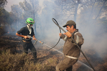

Morocco has recorded 310 wildfires between the start of the year and July 20, burning about 1,850 hectares (4,571 acres).
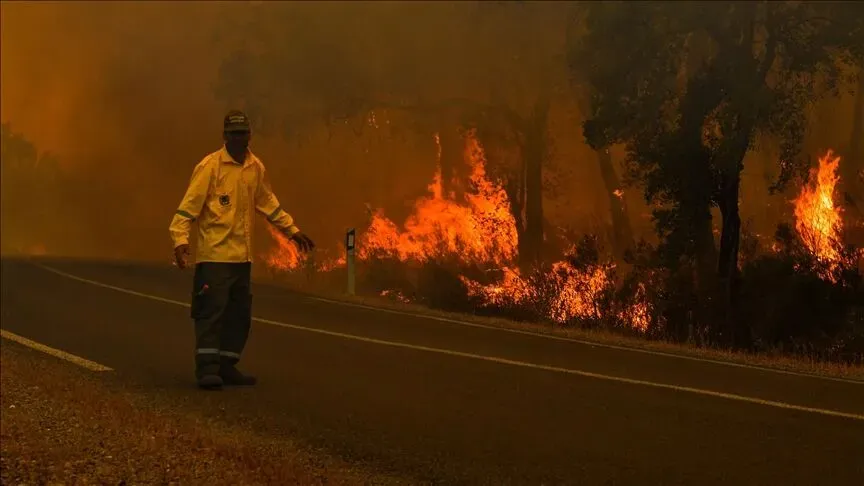
Morocco has placed nine provinces at the highest wildfire alert level as blazes continued to intensify over the past week, with satellite data showing that more than 4,100 hectares (10,131 acres) have burned since the start of the year.
Data from the European Commission-backed Global Wildfire Information System (GWIS) showed that about 855 hectares (2,112 acres) burned over the past week, marking an increase from the previous week.
The system also detected 1,006 thermal anomalies across Morocco between Jan. 1 and Aug. 2, including 59 over the past week. Thermal anomalies are satellite-detected hotspots and do not necessarily represent separate wildfires, as the same fire may be detected more than once.
Despite the increase, the cumulative area burned so far this year remains below the average recorded between 2012 and 2025, according to the system.
Wildfire warnings
On Friday, Morocco’s National Agency for Water and Forests issued red-level wildfire warnings for nine provinces in the country’s north and east, indicating an extreme risk of forest fires.
The agency relies on an early warning system based on weather conditions and vegetation cover to assess wildfire risk.
Official figures released earlier showed that authorities had recorded 310 wildfires between the start of the year and July 20, burning about 1,850 hectares (4,571 acres).
Forests cover around 12% of Morocco’s territory, with authorities deploying drones alongside aerial and ground firefighting teams to contain fires and prevent their spread.


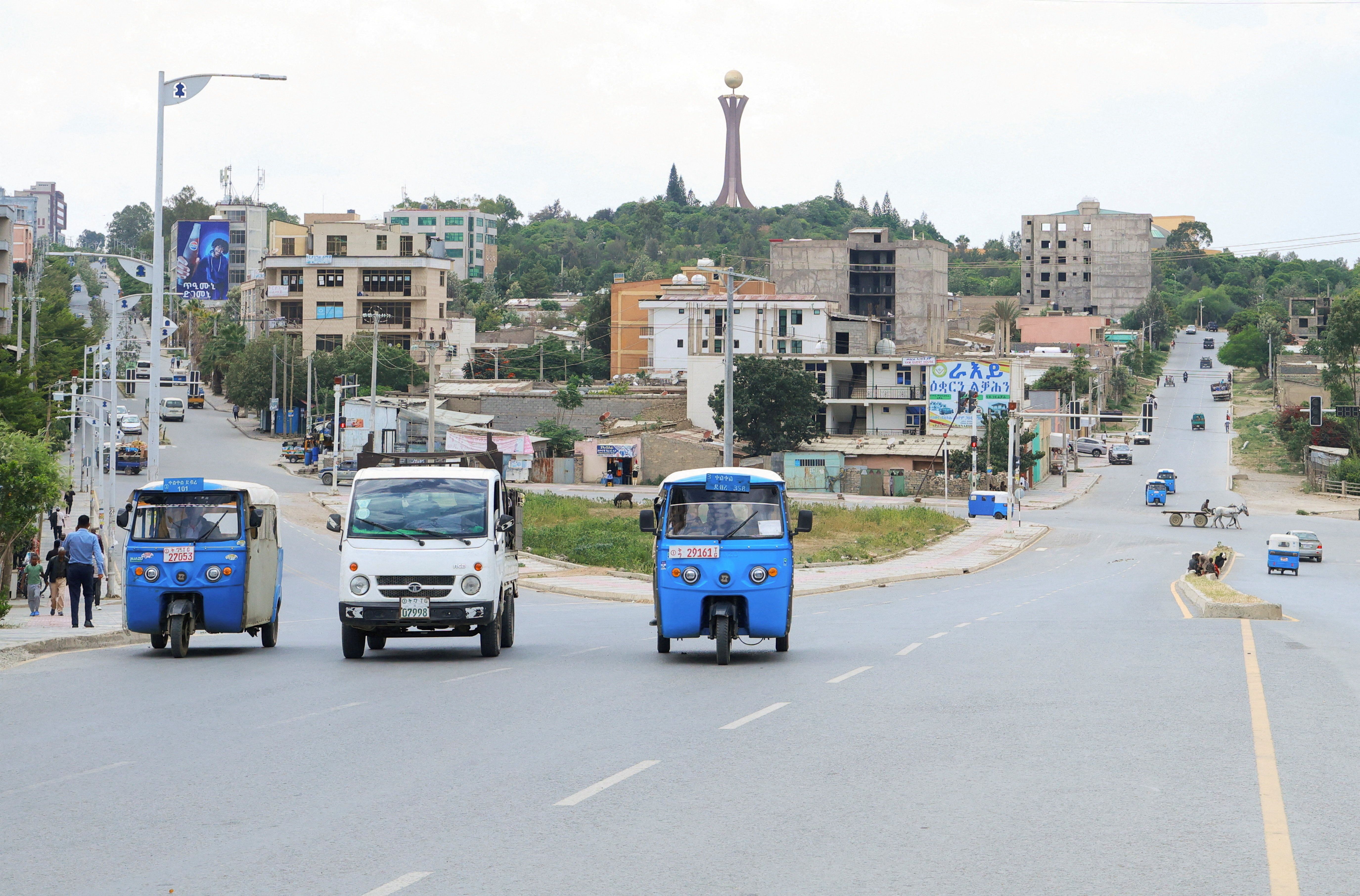
Ethiopia's army says it has foiled attacks by Tigray rebels
The army said it inflicted heavy personnel and equipment losses on the TPLF rebels.
The cost of UNGA: Who pays and who profits?
Member states make mandatory annual contributions based on capacity to pay, factoring in gross national income, external debt burden and per-capita income.
Sudan rejects US remarks questioning government legitimacy amid Burhan visa dispute
Khartoum urges Washington to respect Sudan’s sovereignty as activists and journalists criticise the reported linking of Transitional Sovereignty Council Chairman Abdel Fattah al-Burhan’s UN visa to a proposed 90-day truce.